top of page

POROSITY CODE
GEOSIMPLIFY
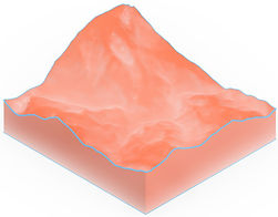
This practice is to transform the real geographic data into a simplified version. From the computation to the fabrication side, I learned to disassemble 3D models into 2D pieces, while considering the material thickness, the number order of each piece, and reference lines in order to assist the assembly process.
Geo Data

Layer

Waffle


LAYER

Assigning shatter lines on each piece to position each other , which eases the assembly process.
WAFFLE
Assigning order number on each pieces to position each other, which eases the assembly process.


bottom of page